


by Steve Critchlow, Group Managing Director, on 01-Dec-2021 15:55:36
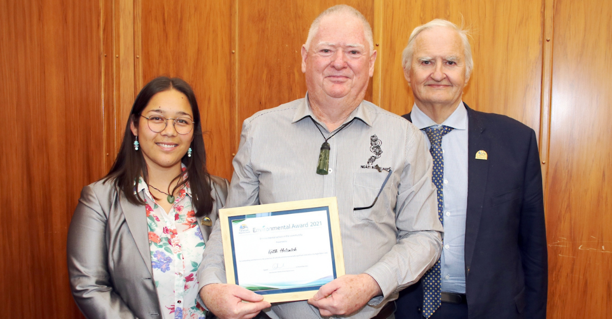
MapInfo Professional user Keith Holswich receives award for outstanding contributions to the protection of culturally and environmentally significant sites It's always a very proud moment for us when we can …
Read Storyby William Tilsley, Imagery Specialist, on 22-Nov-2021 10:18:14

Helping New Zealand see the unseen Pixxel is launching the world's most advanced hyperspectral satellite imaging constellation using cutting edge hyperspectral smallsats capable of 5m resolution and 200+ bands, providing …
Read Storyby Steve Critchlow, Group Managing Director, on 26-Oct-2021 09:30:12
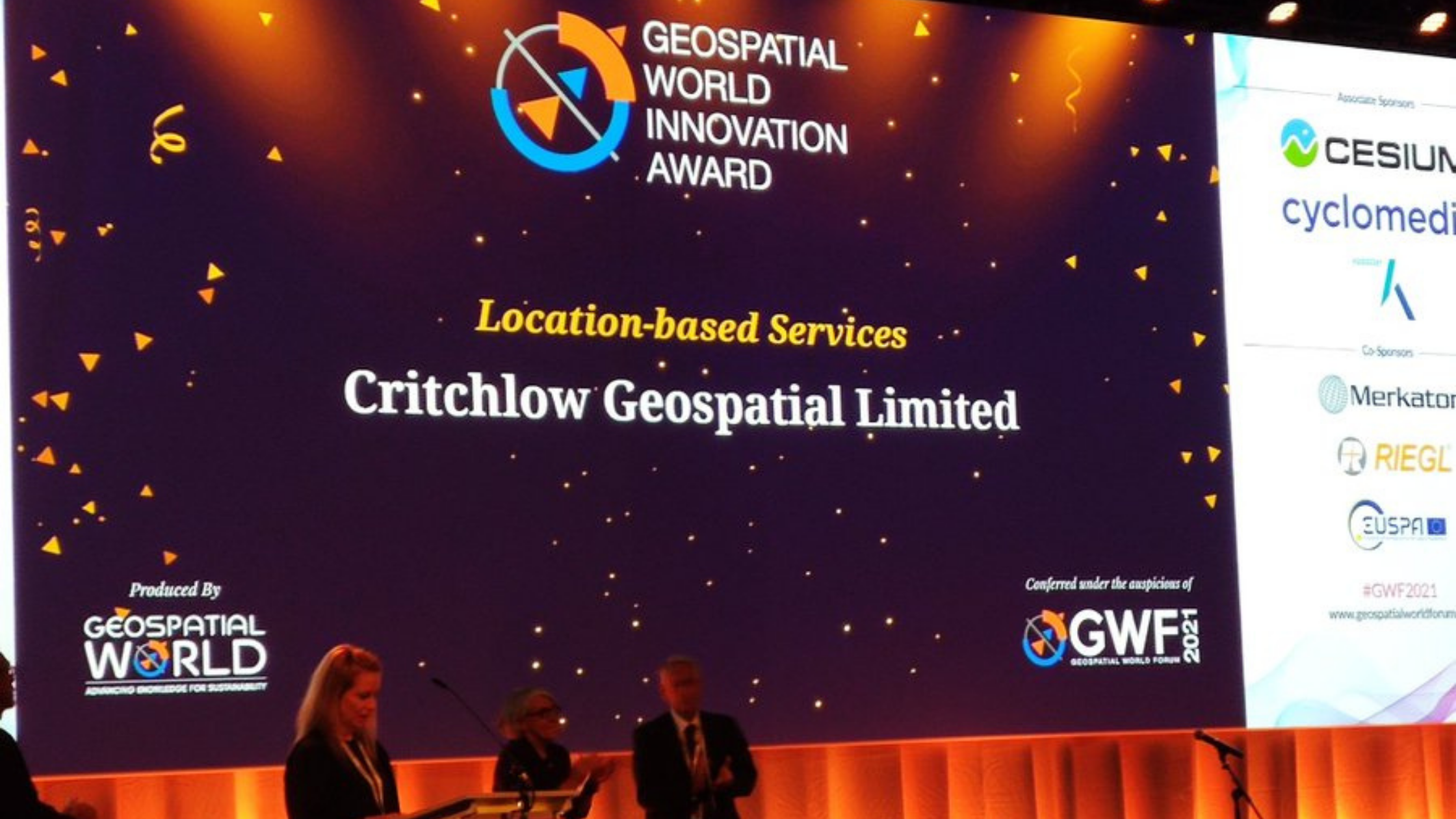
Critchlow Geospatial are honoured and delighted that our SwitchMyFleet solution has just won the Location-based Services Category at the prestigious Geospatial World Innovation Awards 2021. The Geospatial World Innovation Awards …
Read Storyby Will Tilsley, on 06-Oct-2021 10:48:52
In a recent blog on satellite services, Steve Critchlow stated the case for how satellite imagery has now come of age due to the technological advancements enabling it to finally …
Read Storyby Steve Critchlow, Group Managing Director, on 25-Aug-2021 09:24:01

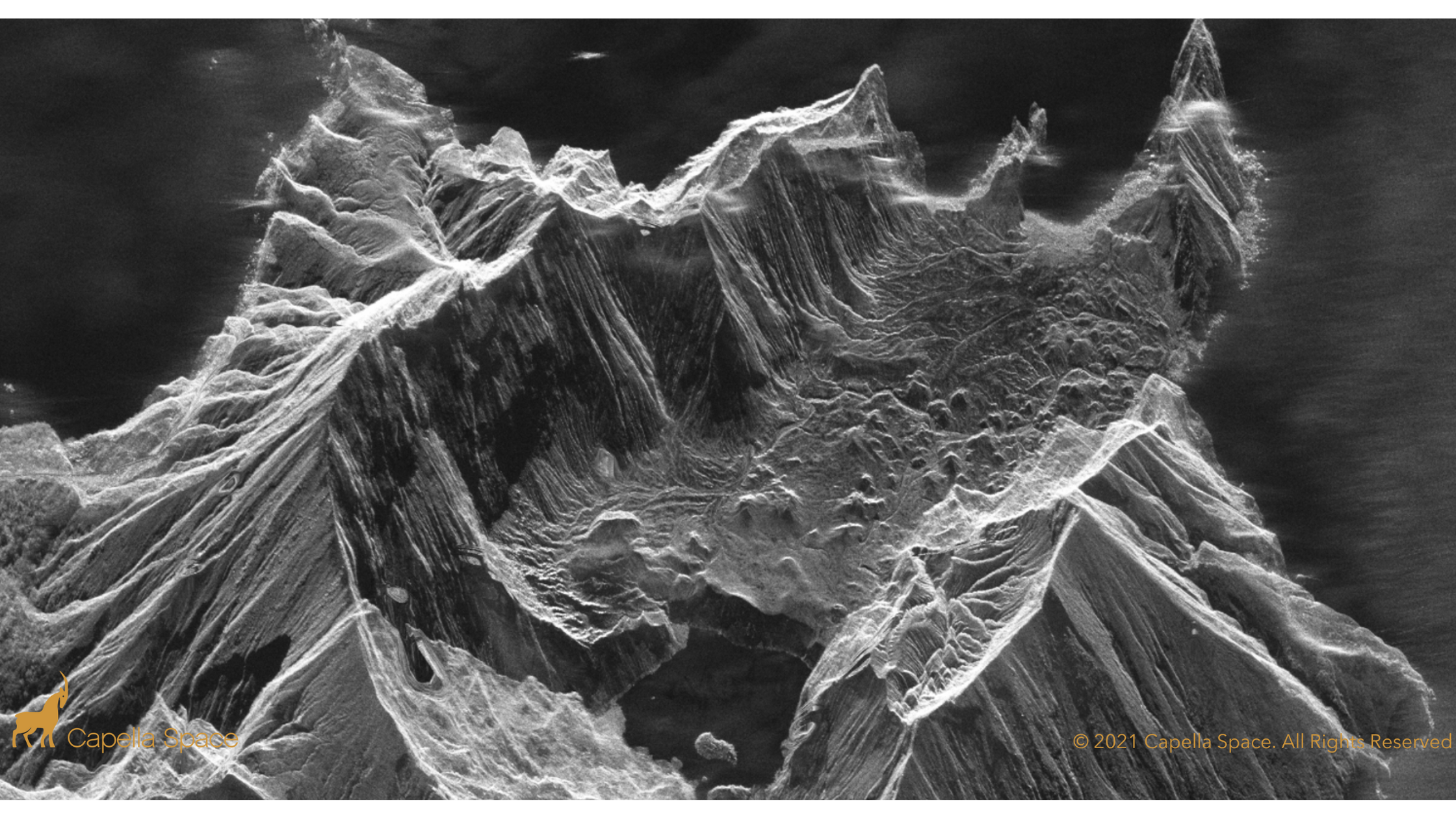
On-demand, high resolution SAR data and analytics now available to New Zealand government and private sector Critchlow Geospatial is pleased that Capella has chosen us to represent them in New …
Read Storyby Steve Critchlow, Group Managing Director, on 10-Aug-2021 13:13:10

The efforts of Richard Branson’s and Jeff Bezos’ recent journeys to the edge of space have captured everyone’s attention. So did Buzz Lightyear when my kids were young. That’s because …
Read Storyby Steve Critchlow, Group Managing Director, on 27-May-2021 14:41:55

With co-funding in 2020 from New Zealand Government, Critchlow Geospatial has developed SwitchMyFleet, an online tool for fleet operators who are considering switching to electric vans and trucks. The goal …
Read Storyby Steve Critchlow, Group Managing Director, on 17-Feb-2021 08:41:32
If you rely on geospatial data for decision-making, now is the right time to consider including a surprisingly affordable, yet potentially game-changing satellite imagery service subscription to next year’s budget …
Read Storyby Steve Critchlow, Group Managing Director, on 10-Dec-2020 11:51:27
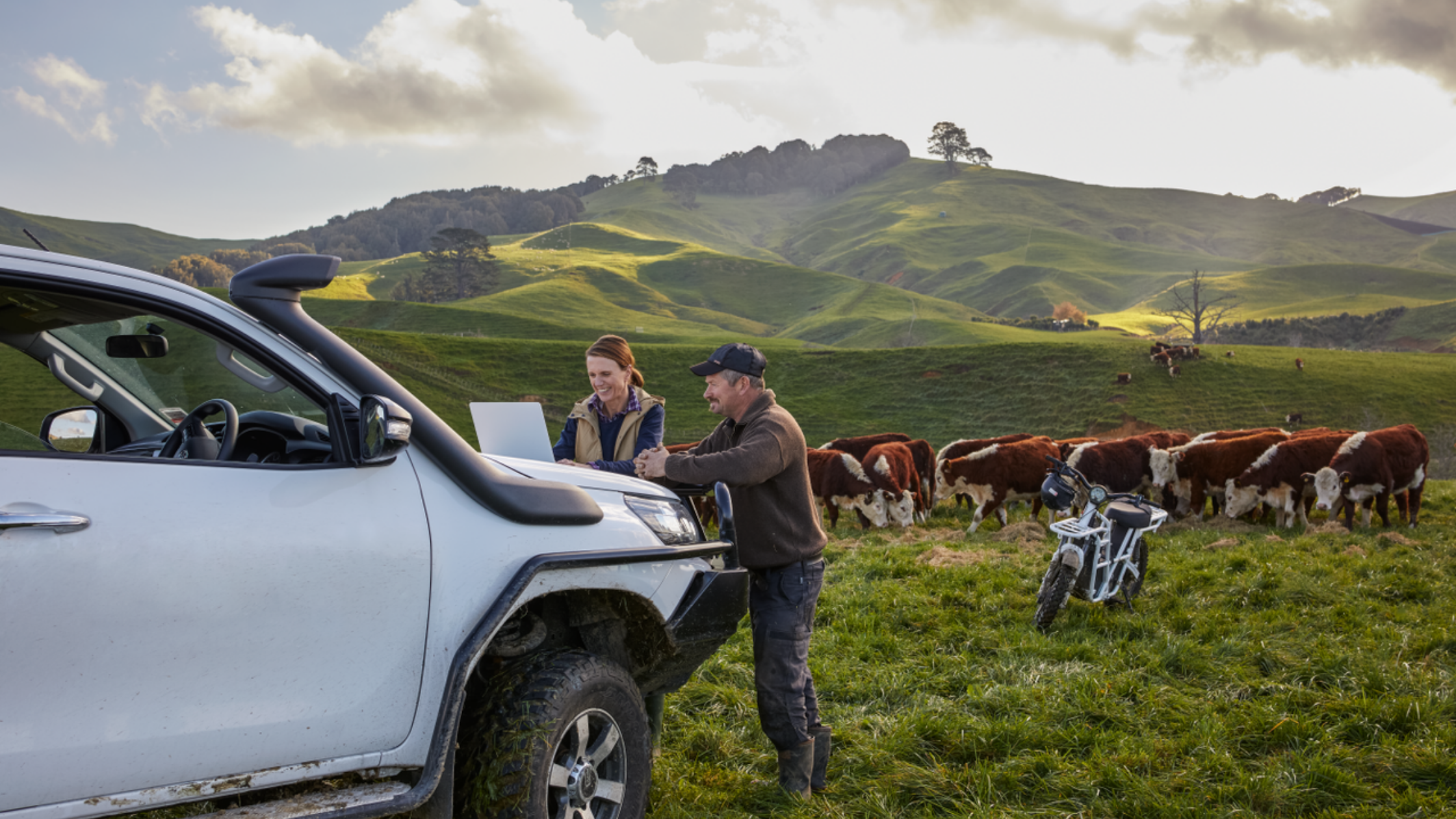
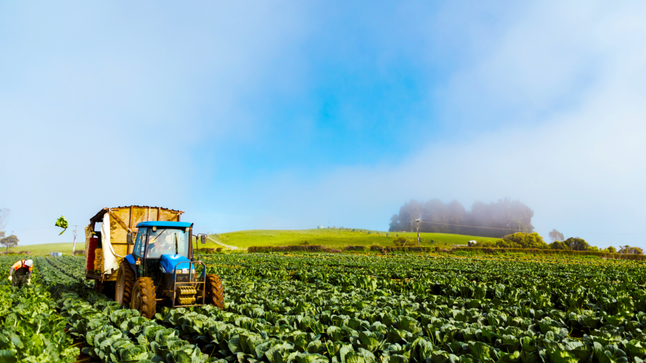
A new eBook that looks at why satellite imagery is a key tool to visualise and monitor change As the driving force of New Zealand’s economy, the primary sector encompasses …
Read Storyby Steve Critchlow, Group Managing Director, on 07-Dec-2020 09:53:15
Recently, Critchlow Geospatial was part of the Primary Industries New Zealand Summit 2020 at Te Papa in Wellington, promoting SecureWatch, a satellite service from Maxar. With more than 500 delegates, …
Read Story
+64 4 472 8244 (New Zealand)
.png "GL_A GenLess Organisation_WHITE (2)")