


by Steve Critchlow, Group Managing Director, on 20-Jul-2023 11:53:46
.png)
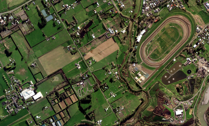
Tasking satellites to capture images of areas impacted by disasters provides exceptional situational awareness. © CC BY 4.0 LINZ – Cyclone Gabrielle North Island 0.5m Satellite Imagery (21 February 2023) …
Read Storyby Steve Critchlow, Group Managing Director, on 12-Dec-2022 10:44:32
-1.jpg)
With digital technology playing a huge role in enabling the reduction of emissions globally, a new research report from think step-anz and Spark reveals the local opportunity for the first …
Read Storyby Steve Critchlow, Group Managing Director, on 11-Oct-2022 11:06:19

Today I’m delighted to announce the official launch of Critchlow Geospatial’s new online portal – the New Zealand Satellite Imagery Marketplace. Recent advances in optics, remote sensing, artificial intelligence, machine …
Read Storyby Will Tilsley, on 05-Oct-2022 10:33:02
Affordable, high-frequency, high-resolution imagery captured daily - on a global scale I'm delighted to confirm another partner addition to Critchlow Geospatial’s carefully curated Satellite Imagery Marketplace – Satellogic. Satellogic’s comprehensive …
Read Storyby Steve Critchlow, Group Managing Director, on 10-Aug-2021 13:13:10

The efforts of Richard Branson’s and Jeff Bezos’ recent journeys to the edge of space have captured everyone’s attention. So did Buzz Lightyear when my kids were young. That’s because …
Read Storyby Steve Critchlow, Group Managing Director, on 10-Dec-2020 11:51:27
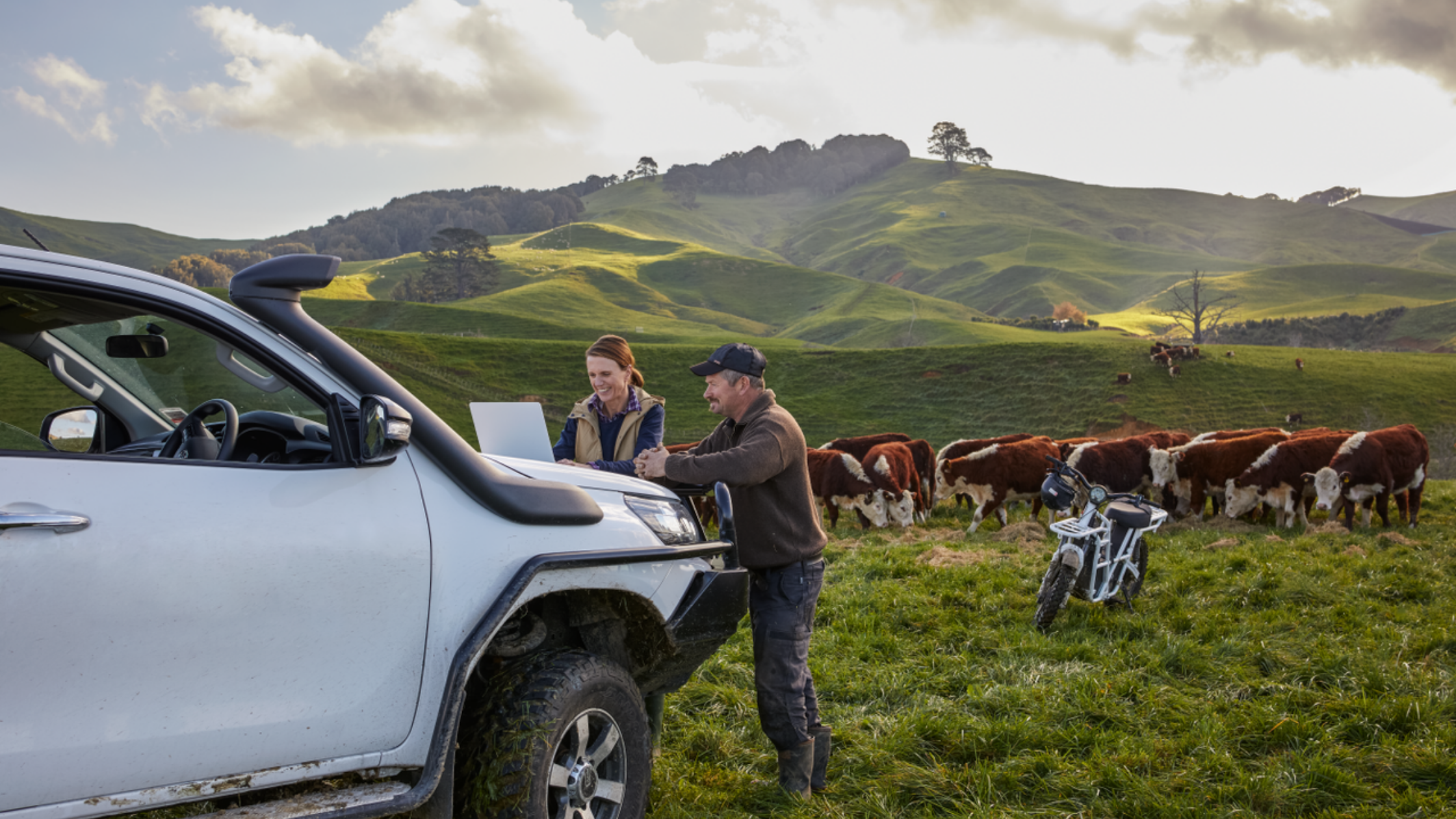
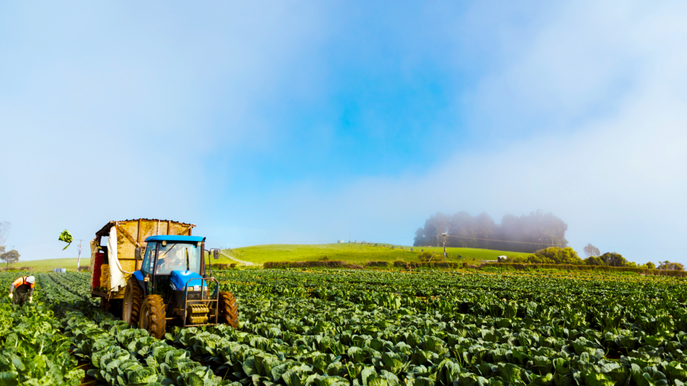
A new eBook that looks at why satellite imagery is a key tool to visualise and monitor change As the driving force of New Zealand’s economy, the primary sector encompasses …
Read Storyby Steve Critchlow, Group Managing Director, on 07-Dec-2020 09:53:15
Recently, Critchlow Geospatial was part of the Primary Industries New Zealand Summit 2020 at Te Papa in Wellington, promoting SecureWatch, a satellite service from Maxar. With more than 500 delegates, …
Read Storyby Will Tilsley, on 03-Dec-2020 15:43:56
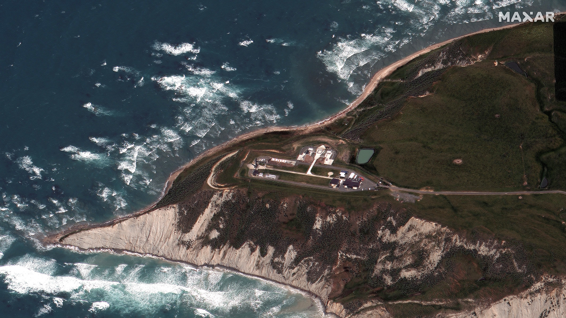
Rocket Lab Electron Rocket before launch at LC-1 in Mahia, New Zealand on November 20, 2020. On 20 November 2020, from Mahia Peninsula, New Zealand’s Rocket Lab successfully deployed 30 …
Read Storyby Andrew Clouston, Senior Consultant, on 05-Nov-2020 10:49:03

Covid19 restrictions are still being felt across our economy, causing significant disruptions to many business sectors; and some traditional ways of operating are just not feasible. So, businesses are looking …
Read Story
+64 4 472 8244 (New Zealand)
.png "GL_A GenLess Organisation_WHITE (2)")