The better your data, the better assets and risks can be managed.

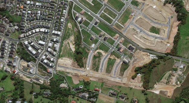
Decisions can only ever be as good as the underlying data, making data quality a top priority. As the banking and insurance sector grapples with complex asset and risk management, spatial intelligence plays a key role in providing all parties with accurate information about the location of assets and the changes happening around those assets.
Critchlow Geospatial makes it easier for you to access the geospatial data and tools that you need to gain a clearer picture of risks associated with assets. From precisely geocoded address data to near real-time satellite images, Critchlow Geospatial can help make asset and risk assessment much simpler and conducted more efficiently and with precision.