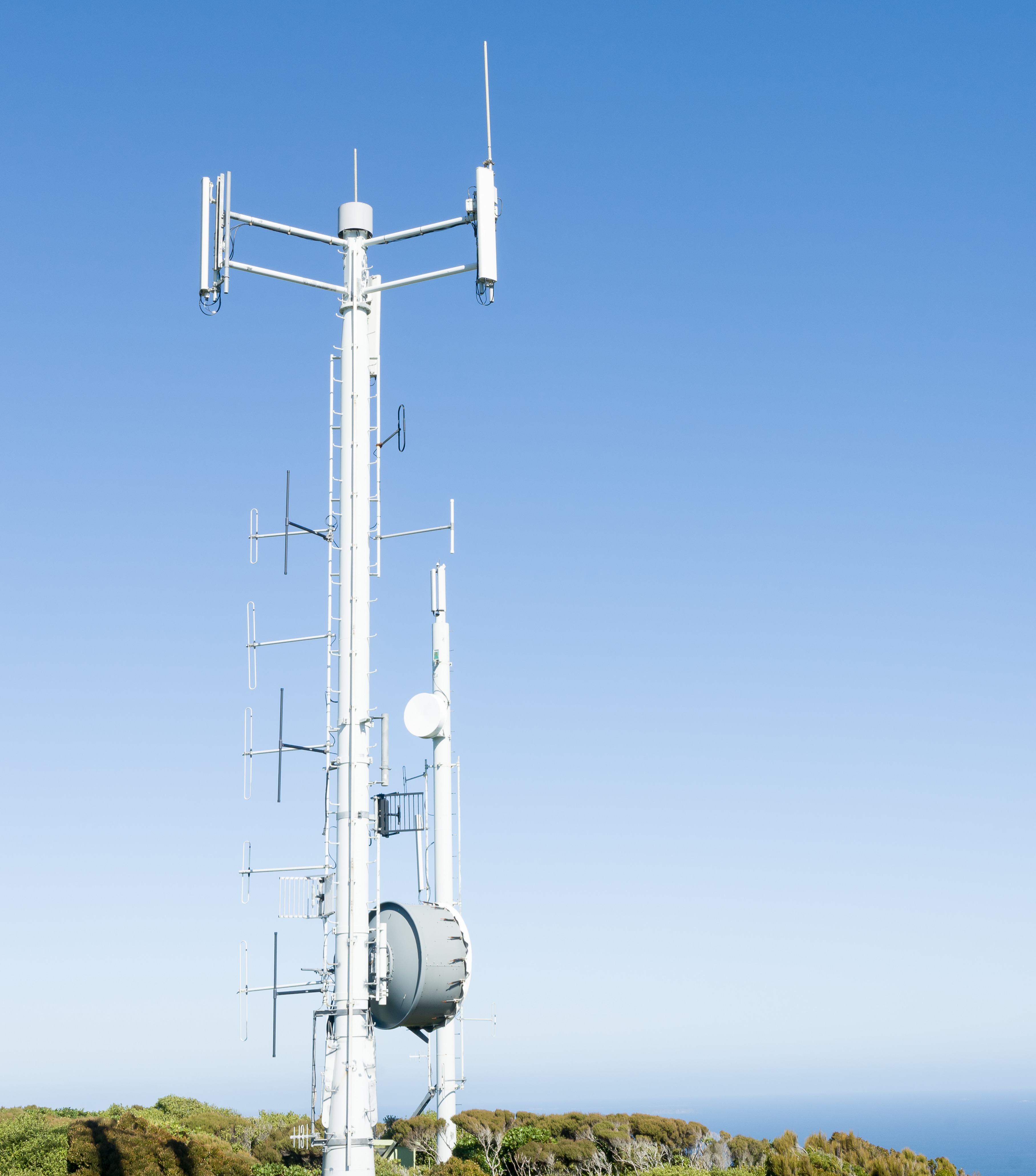
Manage current telecommunications with improved planning and design of multiple communications networks.

As economies increasingly depend on the telecommunications network, a premium has been placed on both the reliability of the existing infrastructure, as well as how it will cope with future demand. Telecommunication companies need to manage this in a highly complex and competitive environment.
Critchlow Geospatial can help you access current, trusted geospatial data and satellite imagery that is designed for telecommunications network engineers. Using national-level digital elevation and clutter models, engineers are able to balance the demands of network design and cost optimisation.