


by Steve Critchlow, Group Managing Director, on 22-Nov-2022 10:28:34

Critchlow Geospatial is pleased to announce that it has received additional co-funding from the third round of the Government’s Low Emission Transport Fund (LETF) to extend the functionality of our …
Read Storyby William Tilsley, Imagery Specialist, on 16-Dec-2021 14:20:46
SpaceWill joins Critchlow Geospatial’s Satellite Services one-stop-shop If you’ve been following our journey, you will have noticed that, over the past year or so, Critchlow Geospatial has been building a …
Read Storyby William Tilsley, Imagery Specialist, on 16-Dec-2021 14:20:00
Critchlow Geospatial’s expansion continues We don’t just add any satellite service provider to our one-stop shop – each one must offer a unique capability that fills a gap that New …
Read Storyby William Tilsley, Imagery Specialist, on 22-Nov-2021 10:18:14

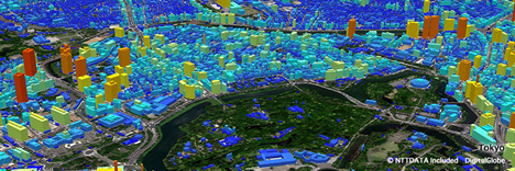
Helping New Zealand see the unseen Pixxel is launching the world's most advanced hyperspectral satellite imaging constellation using cutting edge hyperspectral smallsats capable of 5m resolution and 200+ bands, providing …
Read Storyby Will Tilsley, on 06-Oct-2021 10:48:52
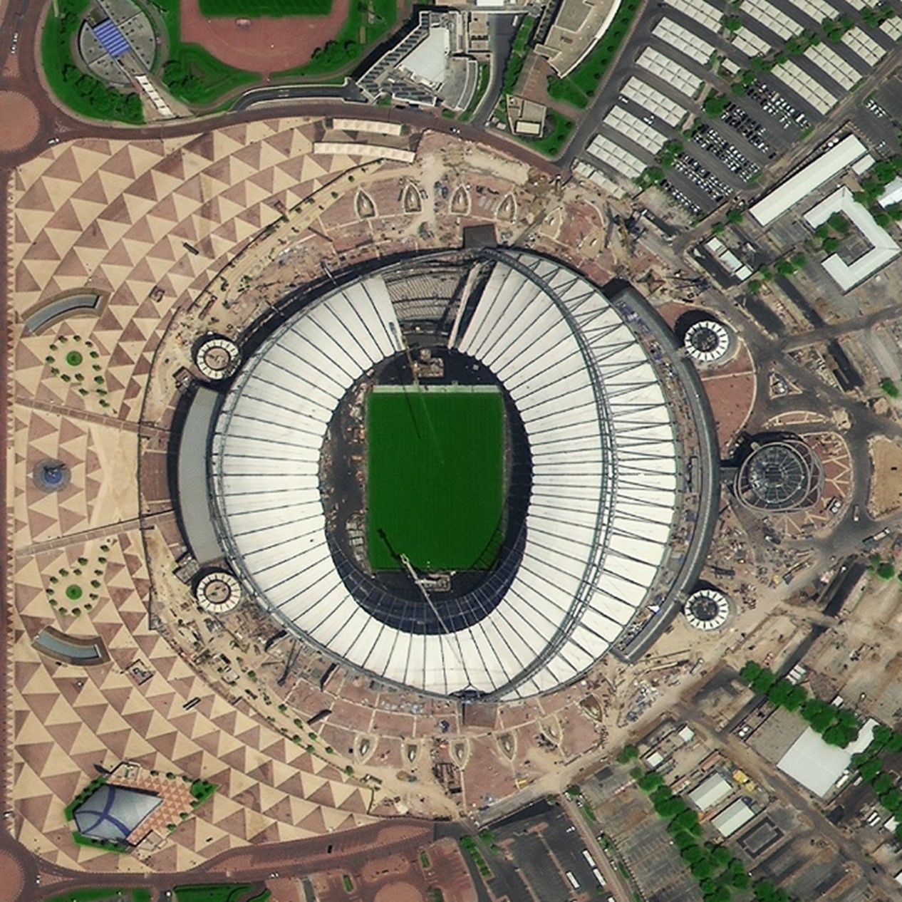
In a recent blog on satellite services, Steve Critchlow stated the case for how satellite imagery has now come of age due to the technological advancements enabling it to finally …
Read Storyby Steve Critchlow, Group Managing Director, on 25-Aug-2021 09:24:01

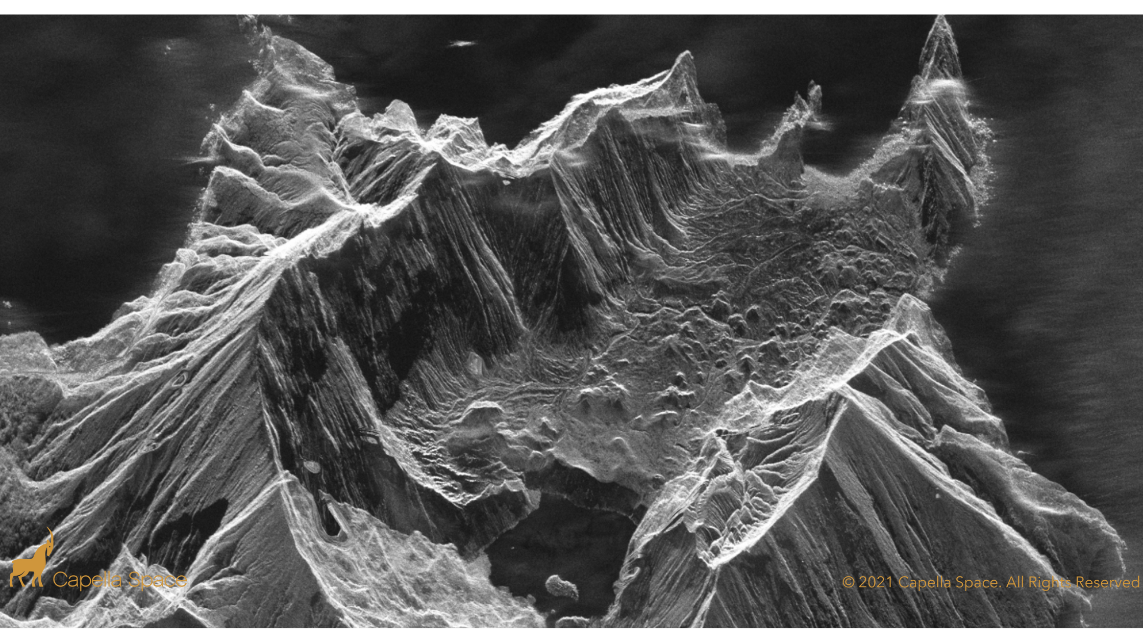
On-demand, high resolution SAR data and analytics now available to New Zealand government and private sector Critchlow Geospatial is pleased that Capella has chosen us to represent them in New …
Read Storyby Andrew Clouston, Senior Consultant, on 08-Oct-2019 12:53:55

The business case is clear for migrating from NZGD1949 to NZGD2000 and to use NZVD2016 Twenty years ago, Land Information New Zealand recognised that New Zealand needed to ensure that …
Read Story
+64 4 472 8244 (New Zealand)
.png "GL_A GenLess Organisation_WHITE (2)")