


Recent Posts by William Tilsley, Imagery Specialist:
by William Tilsley, Imagery Specialist, on 11-Jul-2022 13:40:48
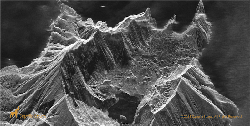
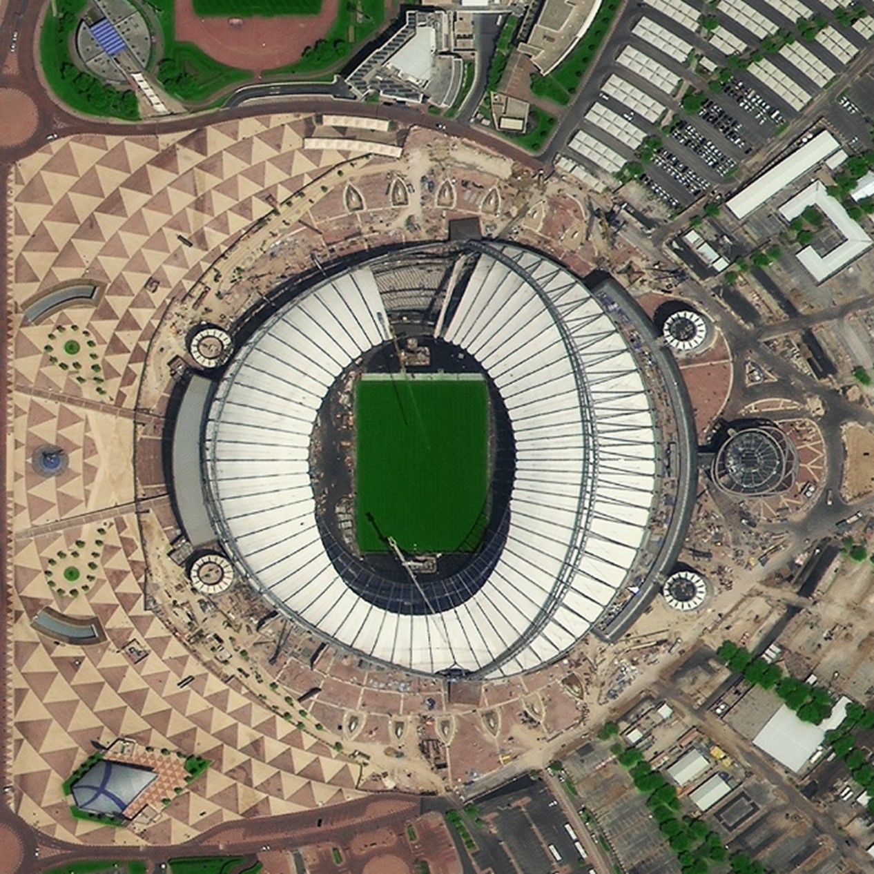
An educational, on-demand webinar from Capella Space - the industry’s innovation leader - that delves into what SAR satellite data is, how it differs from optical satellite data, and some …
Read Storyby William Tilsley, Imagery Specialist, on 16-Dec-2021 14:20:46
SpaceWill joins Critchlow Geospatial’s Satellite Services one-stop-shop If you’ve been following our journey, you will have noticed that, over the past year or so, Critchlow Geospatial has been building a …
Read Storyby William Tilsley, Imagery Specialist, on 16-Dec-2021 14:20:00
Critchlow Geospatial’s expansion continues We don’t just add any satellite service provider to our one-stop shop – each one must offer a unique capability that fills a gap that New …
Read Storyby William Tilsley, Imagery Specialist, on 13-Dec-2021 13:19:19
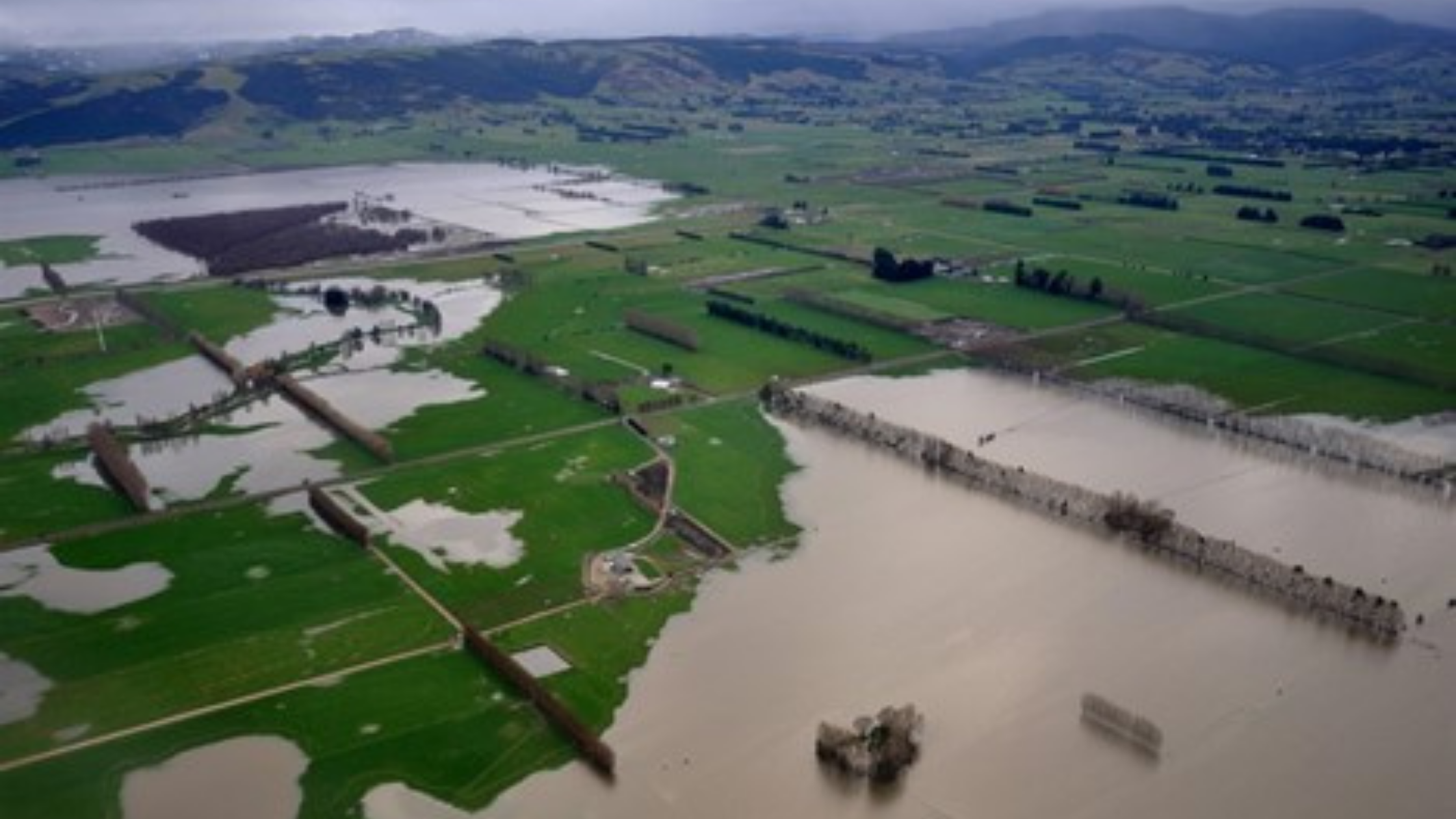
In the not too distant past, risk modelling for insurance (and re-insurance) purposes relied heavily on generalised actuarial tables. These essentially static tools then used high level data inputs to …
Read Storyby William Tilsley, Imagery Specialist, on 22-Nov-2021 10:18:14
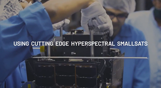
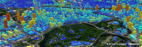
Helping New Zealand see the unseen Pixxel is launching the world's most advanced hyperspectral satellite imaging constellation using cutting edge hyperspectral smallsats capable of 5m resolution and 200+ bands, providing …
Read Story
+64 4 472 8244 (New Zealand)
.png "GL_A GenLess Organisation_WHITE (2)")