


by Steve Critchlow, Group Managing Director, on 07-Dec-2020 09:53:15
Recently, Critchlow Geospatial was part of the Primary Industries New Zealand Summit 2020 at Te Papa in Wellington, promoting SecureWatch, a satellite service from Maxar.
With more than 500 delegates, this would have been one of the largest gatherings of New Zealanders since March of this year - it certainly was the largest gathering of people who work in, and who work for the primary industry.
On day 2, Rt Hon Jacinda Ardern delivered the keynote, and of particular interest to me was her statement about “helping build better support tools to provide meaningful data to farmers”.
This same sentiment was shared by Andrew Hoggard from Federated Farmers when he spoke about what he believes the sector needs: digitisation of data that can be integrated with workflows - not another app!
In July of this year, Andrew was interviewed by the New Zealand Herald and said that he would like to see “improvements in smart farming tech solutions that reduce compliance burden.” He specifically mentioned farm plans and the burden of administration on farmers to keep them current, and the cost of industry and government in approving and auditing these plans.
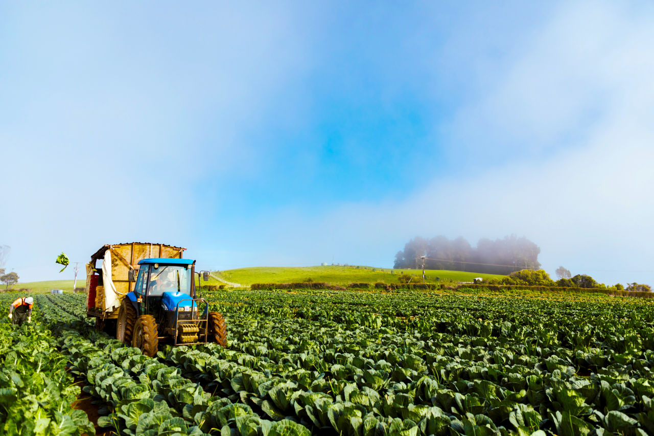
The primary sector is well served by technology applications, but where we may be falling short is the data used in the applications for compliance purposes.
Over the 2 days of the summit, we had discussions with several technology providers. They are interested in exploring how satellite imagery (both current and historic), integrated with their applications, could be the answer.
After all, no one wants technology to be, as Andrew shared in his interview with the Herald, “sucking the fun out of farming”.
If this is a topic of interest to you, I encourage you to read our recently released eBook, “Geospatial enablement of the primary industries through satellite imagery”. We explore how satellite-based imagery service and advanced image analysis can benefit the New Zealand primary industries. We provide an in-depth analysis of how geospatial tools are enabling significant business enhancements across the primary sector to support social, environmental and sustainability needs.
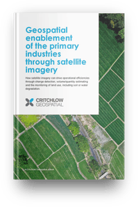
The eBook provides insight to the benefits and use cases for satellite and aerial imagery within the New Zealand primary industries. Alongside several valuable use cases, such as “Satellite imagery's potential to support operational efficiency (e.g. to plan and communicate information relating to a property; to perform site inspections”. We also pose a series of critical questions you can use to evaluate the need for geospatial enablement within your operations.
If this strikes a chord with you, get in touch.

.png "GL_A GenLess Organisation_WHITE (2)")