


by Andrew Clouston, Senior Consultant, on 05-Nov-2020 10:49:03
Covid19 restrictions are still being felt across our economy, causing significant disruptions to many business sectors; and some traditional ways of operating are just not feasible. So, businesses are looking for new (and improved) ways to maintain productivity without complete reinvention.
At Critchlow Geospatial, we’ve answered the call in a few ways. One is by helping small businesses who have introduced or need to scale up their direct-to-consumer deliveries with our subscription-based “Smart Routing for Small Business” route optimisation solution. No longer are these businesses using highlighters and paper maps to figure out what they assume is the most efficient way to complete deliveries or pick-ups. Instead, route planning is automated (taking only a few minutes), giving certainty to both travel time and distance and accuracy in the locations of these destinations and how to reach them.
One of our customers, FreshBake, a bakery in the town of Brightwater, near Nelson, believes our new service will save them around $50,000 a year by improving their productivity and growing their customer base! FreshBake is using this solution to thrive, not just survive - all it takes is a new perspective.
What strikes me, is that, in reality, small changes to business (such as optimising delivery/pick up routes) can have a huge impact.
In my role as a Senior Consultant, I help our customers by providing subject-matter expertise on independent spatial measurement, calculations, and mapping to allow information to be compared, verified, and relied on. Over the past few years, satellite imagery has become another “arrow in Critchlow Geospatial’s quiver” as a powerful analysis tool that we offer our customers.
Last year I wrote a blog summarising how satellite imagery will play a key role for the future of New Zealand’s Primary Sector. In it, I stated that the “Key benefits of satellite imagery are that of time” and gave two examples:
- Businesses can access relevant satellite imagery within hours of image acquisition, allowing them to make timely decisions, rather than relying on existing (potentially out-of-date) aerial imagery; and
- Businesses can acquire imagery that relates to natural events (e.g. floods, fire, earthquakes) or seasonal needs (e.g. planning for harvesting).
So, with this in mind, what might a different perspective for the Primary Sector look like when it comes to external evaluations?
Do we still need to do in-person site visits (or do we do it
because that’s the way we’ve always done it)?
I suggest that we don’t need them or at least, only under certain circumstances - not when we have ready access to high quality, timely satellite imagery for anywhere in the country and analysts can easily access this information from their office. “Virtual” site visits are a viable option for now and the future.
I offer the following 3 questions to guide your consideration of incorporating satellite imagery into your site visit processes.
1. Do you really need to perform physical site inspections?
Are you a prospective purchaser of land or someone assessing the risk of lending or insuring? Are you a valuer or other land-based consultant? As you’re no doubt aware, property inspection and investigation can be time consuming and costly. So, minimising the time spent conducting on-site visits (and associated travel time and costs) is important. This is where satellite imagery can become a powerful alternative decision support tool.
Satellite imagery is a “real world representation” at a point in time, enabling viewing and measuring off the imagery, providing you with an excellent representation of the current state. Further, it provides you with a reconnaissance benefit so that even if site inspections are still required, it can be focused on specific features (such as “Is the old shed still there?”, or “Where does a stream lead to?”) can be easily answered. This is especially the case for larger properties, where visiting the entire property may not be feasible.
2. Do you need to understand the history of a property?
If building knowledge of a property during acquisition or development is difficult, then without the ability to time travel, a real site visit simply isn’t possible. The key advantage of satellite imagery is that, unlike aerial (plane-based) photography, satellite imagery is continually being acquired. So, answering questions such as “What did the property look like in other seasons or previous years?” or “Was it impacted by a flood event or similar?” become possible. Viewing historical imagery can deliver value by providing significant insights into the history of the property and confirm the approximate age of infrastructure (e.g. buildings, alterations, tracks/races, irrigation features, etc.) from which checks for appropriate permits can be made. Equally, general monitoring can facilitate tasks such as checking on building progress or environmental issues relating to large infrastructure projects.
3. Do you need information that is not easily observed with your own eyes?
Virtual site visits using satellite imagery essentially leverages the “eyes in the sky”, allowing you to take advantage of its multi-spectral capabilities. This means that your “virtual site visit” could also assess and analysis vegetative cover, moisture levels, vegetation health and other ground characteristics such as slope and elevation. By better understanding the characteristics of the land revealed through imagery, decisions relating to long-term land management can be made (e.g. varying stocking rates across the property or determining areas that need more or less irrigation or fertiliser).
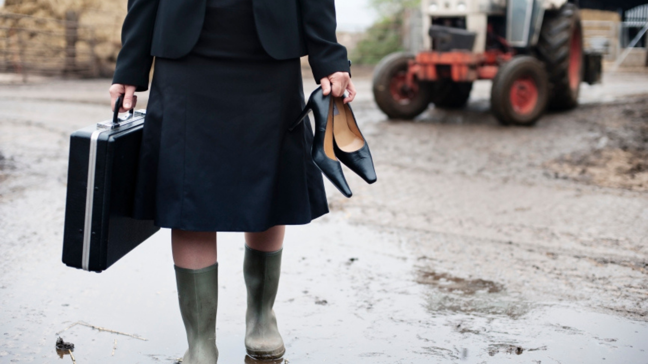
In summary, due to its large coverage, historical archive, and ability to identify and map land and vegetation characteristics, satellite imagery can provide the context and evidence required for robust decisions without the expense of time and travel (and remembering your gum boots). Sometimes it just requires a different perspective to work smarter.
If you'd like to find out more about our satellite-based imagery or our independent measurement services, please get in touch … and if you’re attending the Primary Industries NZ Summit and Awards at Te Papa (23-24 November 2020), why not visit the Critchlow Geospatial booth and have a look at what satellite imagery could do for you.

.png "GL_A GenLess Organisation_WHITE (2)")