


by Steve Critchlow, Group Managing Director, on 11-Oct-2022 11:06:19
Today I’m delighted to announce the official launch of Critchlow Geospatial’s new online portal – the New Zealand Satellite Imagery Marketplace.
Recent advances in optics, remote sensing, artificial intelligence, machine learning and cloud computing mean that satellite imagery (and its ever-growing catalogue of derived data) is now more powerful and accessible than ever before.
However, today’s satellite imagery is not just high resolution optical imagery, it now includes multi (and hyper) spectral capabilities that can distinguish between materials on the Earth’s surface, as well as Synthetic Aperture Radar (SAR) that can penetrate through clouds, smoke and darkness of night.
The New Zealand Satellite Imagery Marketplace will make it easier for all businesses and organisations looking to kickstart or ramp up their satellite imagery journey by providing knowledge, tools and insights as a one-stop online resource. With flexible new business models around the licenses for software and data, the Marketplace will make it much easier for agritech, farmers, horticulturalists, planners, engineers and GIS specialists who serve those industries to access satellite imagery in a timely and automated manner, often via web-based and self-service subscription models.
The launch of the New Zealand Satellite Imagery Marketplace largely coincides with the commercial maturation of the technology and the imminent need for innovation in accelerating the transition to a low carbon economy. Earth observation via satellite imagery and its derived data will be at the forefront of green policy and the shift to low carbon activity and emissions reduction.
A prime example of how this technology will enable emissions reduction is that by simply using satellite imagery organisations can lessen their reliance on commissioning polluting aircraft for annual aerial imagery capture, as well as the requirement for many physical site visits. Ultimately, smart use of satellite imagery will assist New Zealand organisations in achieving their Net Zero targets much more expediently.
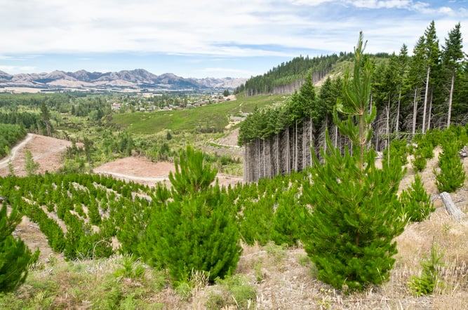 Regular physical site visits and expensive, polluting aerial imagery capture commissions can be a thing of the past with next generation satellite imagery.
However, with new satellites and technology being launched all the time, it's a complicated proposition to keep up with the rapid pace of change, not to mention all the new players entering the market, and this is where the New Zealand Satellite Imagery Marketplace does all the heavy lifting.
Each provider in the Marketplace has been carefully hand-selected by Critchlow Geospatial to ensure the most comprehensive range of satellite services available today. Current providers include, Maxar, NTT Data, Pixxel, SI Imaging, Capella Space, Satellogic and SpaceWill.
With the satellite Earth observation market expected to grow globally to US$7.88 billion by 2030, almost every industry sector in New Zealand will benefit from next-generation satellite imagery and its derived data. The New Zealand Satellite Imagery Marketplace will enable the accelerated adoption of this innovative and essential technology.
If your business or organisation routinely undertakes aerial imagery capture, or physical site visits, or just generally needs to monitor large geographical areas, then I encourage you to check out the New Zealand Satellite Imagery Marketplace.
And, once you’re ready to engage or discuss further, then local expert advice and support is right there to assist.

.png "GL_A GenLess Organisation_WHITE (2)")