


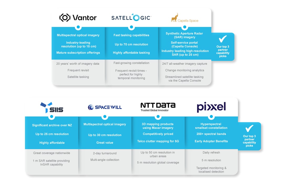
We know it can be overwhelming for organisations that are early in their satellite imagery journey to find the right match for the requirements – so here’s how we’re making it easy for you.


Cutting-edge platform for geospatial software solutions
Vantor provides accurate, near real-time insights into conditions on the ground, without the expense and risk of sending teams into the field.

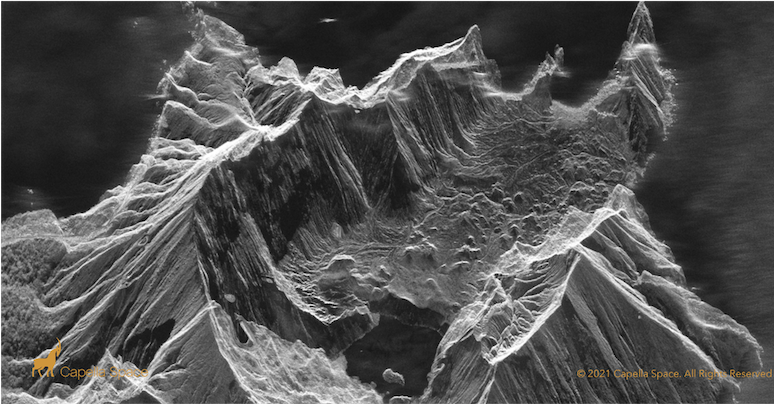
Capella Space offers Synthetic Aperture Radar (SAR) technology to give a different perspective from other EO providers, offering important advantages that traditional earth observation sensors cannot provide: SAR transcends the elements of weather and the darkness of night.

If immediate access to current high resolution (50 cm), cloud-free (<=10%) imagery across all of New Zealand or tightly focused urban areas of your choice to support your projects or analysis is a capability you need now, then SI Imaging might be your solution. Introductory pricing and generous licensing for use with up to 5 organisations are standard.

Affordable, high-frequency, high-resolution imagery.
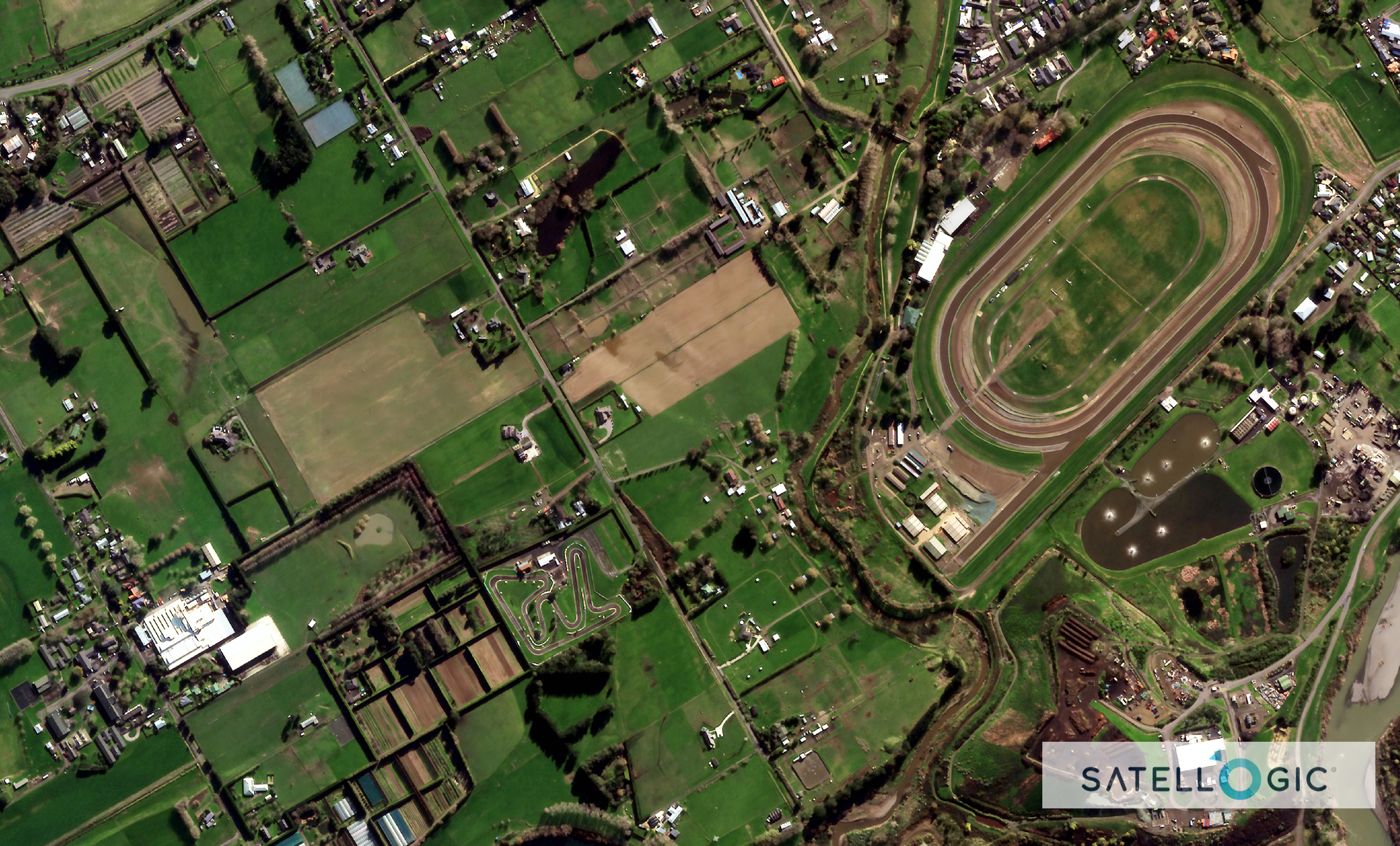
When quick turnaround to tasking and archive imagery matter, look to Satellogic. Satellogic’s large constellation of 200+ satellites can map the earth every day. They offer a highly agile and cost effective offering for rapid tasking and archive.

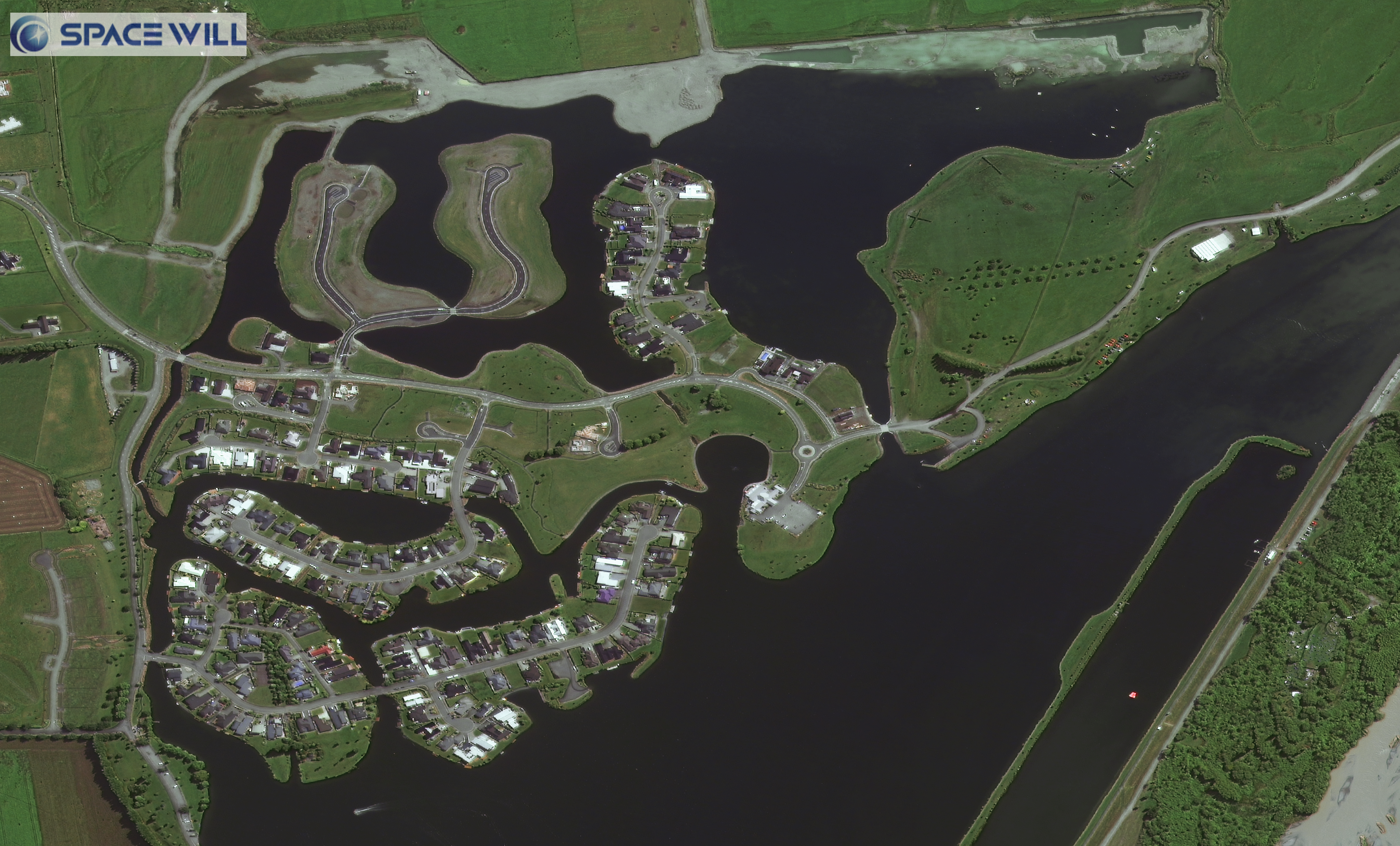
For organisations that need quick turnaround, SpaceWill can provide data in two days offering four collection modes including long strip, multi-strip, multi-point and stereoscopic collections.

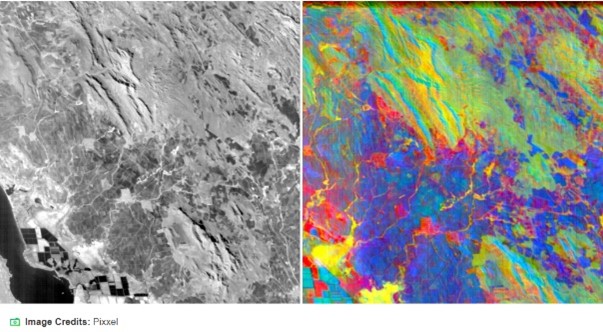
.png?width=320&name=Pixxel%20Logo%20(1).png)
.png?width=4394&height=2656&name=Critchlow%20-%20header%20images%20satellite%20services%20(5).png)
.png?width=3863&height=2578&name=ADR%20-%20Satellite%20Services%20Partners%20(1).png)
.png?width=4394&height=2656&name=Critchlow%20-%20header%20images%20satellite%20services%20(6).png)

+64 4 472 8244 (New Zealand)
.png "GL_A GenLess Organisation_WHITE (2)")