


by Steve Critchlow, Group Managing Director, on 02-Mar-2023 14:19:23
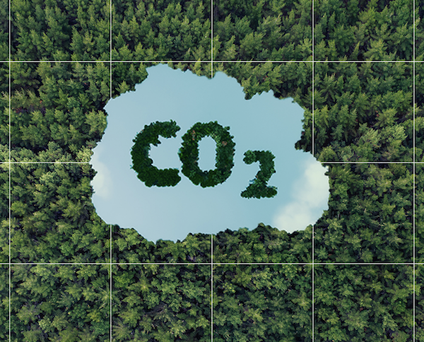
New Zealand’s Emissions Trading Scheme enables us to meet our international obligations around climate change by providing an incentive to reduce emissions.
Most forest owners and managers are likely registered and impacted by the Emissions Trading Scheme (ETS) and have the ability to earn carbon credits or units from their forests.
One of these “units” represents 1 tonne of carbon dioxide (or the equivalent greenhouse gases) and these units can be bought or sold, with the government setting the number of units supplied into the scheme.
Businesses or enterprises responsible for emitting greenhouse gases in certain sectors must then pay for these units to offset their emissions.
Conversely of course, when a forest is cut down then carbon is released, meaning when forestry owners or managers clear or deforest certain land, then they may have to pay units also.
When registering in the ETS (with post-1989 forest land) forest owners and managers must define and map their Carbon Accounting Areas (CAA’s) as a way to divide their forest land into individual areas that are used for calculating the carbon gains and losses.
There are 4 steps to mapping forest land for ETS (as defined by MPI):
- Get an aerial photo or satellite image that has been prepared for use in mapping (such as an orthorectified aerial image). This must be in the NZTM2000 map projection, and needs to show enough detail that you can map forest boundaries to the geospatial mapping information standard.
- Draw polygons over the aerial photo or satellite image to map the edges of the forest land. If required, draw polygons to segment the CAA boundaries.
- Assign a CAA number to each area of post-1989 forest land, and add attributes such as forest type and planting date.
- Submit this information in an electronic map file (saved as a shapefile).
Once mapped and registered for ETS, forest owners and managers must then submit their Mandatory Emissions Return covering each five-year ETS compliance period (with any changes captured).
The current compliance period runs from January 2018 to December 2022, with the next Mandatory Emissions Return due to be submitted by 30 June 2023.
With this deadline of June 30 fast approaching, the difficulty in securing aerial imagery flight capture dates in a timely manner will be challenging for some.
This is where next generation, high resolution satellite imagery comes into its own. With high resolution options, fast turn-around, and lower costs than aerial, it’s the way forward for the forestry sector.
Indeed, with recent advances in optics, remote sensing, artificial intelligence, machine learning and cloud computing, satellite imagery (and its ever-growing catalogue of derived data) is now more powerful and accessible than ever before.
In addition, next generation satellite technology seems tailor-made for the requirements of New Zealand’s primary industries and the forestry sector in particular – especially when time is of the essence.
Here then are my top 8 reasons why forestry owners/managers should acquire satellite imagery this year.
- Recent archive imagery may be suitable – it’s not just about tasking.
- If you do choose tasking, you won’t need to scramble to secure the capture dates you need.
- It’s a whole lot cheaper than aerial. Lower costs and higher frequency of captures means your imagery budget can deliver more value to your stakeholders.
- Much faster and more responsive turn-around time from capture to delivery (usually a couple of days; no waiting months for data to be processed).
- You can easily set up repeated monitoring for a significantly more affordable cost than aerial capture (e.g. keeping a watchful eye on fire risk variables).
- Know that a satellite will be where you need it, when you need it. Why limit yourself by commissioning one camera in the sky (i.e. an aircraft) when you can have near-immediate access to 100+ satellite cameras? Bad weather, wind, etc might ground an airplane - never a satellite!
- Access archive imagery for robust and affordable change monitoring. Let us help you tap into literally thousands of quality imagery captures over the past decade (and beyond!).
- You are an emissions reduction hero. Your projects are much friendlier on the environment. Using satellites (instead of greenhouse gas-emitting aircraft) demonstrates your commitment to emissions reduction.
So, if your operation is under time pressure due to the 30 June submission deadline (and the complications in securing aerial imagery) then there’s simply no better time than 2023 to make the switch to high-resolution satellite imagery.
On another note, there is re-mapping available to you, if your role is in assessing damage caused by Cyclone Gabrielle.
Get in touch with us today to discuss the wealth of options available right now.

.png "GL_A GenLess Organisation_WHITE (2)")