NationalMap Emergency Management Basemap

In times of crisis, emergency services and managers nationwide can now access the vital data they need, when they need it.

Whether you're readying yourselves for a known event like a storm or severe flooding; or pulling together resources after an unexpected incident such as an earthquake or widespread fire, having authoritative data available at the click of a button is vital to ensuring your preparedness, response and recovery.

NationalMap’s EM Basemap is an OGC-compliant Web Map Service (WMS) that includes reference data specifically collated for New Zealand’s emergency services and managers. The data content is standardised and consistent across NZ, providing familiarity with the Basemap regardless of the incident or responder locations.

What data is available in the EM Basemap?

People 2 (3)
Approximate population and occupancy figures for:

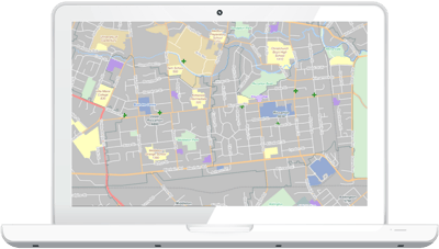
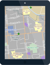
Stats NZ SA1 & SA2 boundaries, Territorial Authorities, Hospitals (Private and Public, with A&E facilities uniquely symbolised), Schools, Retirement Villages, Major Event Centres, and Prisons.

Detailed location data for:

Fuel Supplies, Supermarkets, Retail Centres, Emergency Services (FENZ/Police/Ambulance), Medical Centres, Early Childhood Centres, Tertiary Campuses, and Rest Homes.

EM Basemap - laptop


Why WMS?

WMS works in all GIS and spatial viewers; it doesn’t require data or software licensing because it publishes images without transmitting object features, which means you can use it straight away without getting into any legal niceties.

Is there a cost associated with the EM Basemap?

No. Like all NationalMap Basemap services for non-commercial users, this WMS service is provided by NationalMap Limited at no cost in the interests of making our country more resilient.

em basemap v3


Delivery Method

Web Service

View the EM Basemap in your GIS

If you've got immediate access to a GIS, click the button below to submit your details.

You'll also gain access to NationalMap's three other Basemaps - Colourful, Grey and Light.

ACCESS THE EM BASEMAP

View the EM Basemap in your browser

Don't have access to a GIS? No worries. You can take a look at the Basemap in your browser by clicking the button below. (NB: Because your browser needs to work much harder than a GIS to pull the Basemap through, you'll notice that it's slower and won't look as good as it does in a GIS).

VIEW THE EM BASEMAP

The company we keep

Fonterra Vector Reach Critchlow Geospatial Spark